
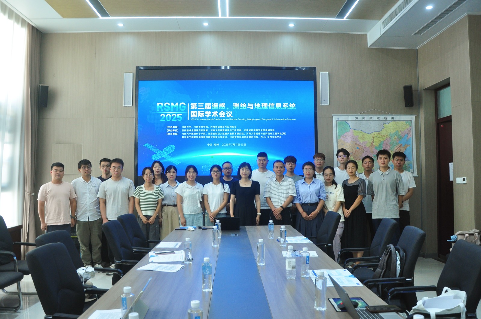
From July 11 to 13, 2025, the 2025 3rd International Conference on Remote Sensing, Mapping and Geographic Information Systems (RSMG 2025), jointly organized by Henan University, Henan Academy of Sciences, and the Henan Remote Sensing Technology Application Association, and co-organized by multiple institutions including the Academic Exchange Information Center, was grandly held at the Zhengzhou Campus of Henan University.The conference invited distinguished guests including Academician Wang Jiayao of the Chinese Academy of Engineering; Professor Liu Yansui, Vice President for Academic Affairs of Henan University; Professor Fu Shenglei, Vice President for Academic Affairs of Henan University; Professor Zhang Liangpei, Director of the Aerospace Information Research Institute of Henan Academy of Sciences; and Professor Li Xiaodong, Chairman of the Henan Remote Sensing Technology Application Association. With its large scale and rich content, the conference attracted over 150 scholars from the industry.

The opening ceremony was presided over by Fu Shenglei. Professor Liu Yansui, Vice President for Academic Affairs of Henan University and Dean of the Faculty of Geographical and Engineering Sciences, and Professor Li Xiaodong, Chairman of the Henan Remote Sensing Technology Application Association, delivered opening speeches. During the keynote report session, Professor Liu Min from East China Normal University, Professor Pan Yaozhong from Beijing Normal University, Professor Liu Yu, Vice Dean of the School of Earth and Space Sciences at Peking University, Professor Kong Yunfeng, Distinguished Professor of Henan University, Researcher Zheng Yu from China Electronics Technology Group Corporation, Professor Cheng Xiao, Dean of the School of Surveying and Mapping Science and Technology at Sun Yat-sen University, Researcher Pei Tao from the Institute of Geographic Sciences and Natural Resources Research of the Chinese Academy of Sciences, Professor Liu Liangyun from the Aerospace Information Research Institute of the Chinese Academy of Sciences, Professor Jia Sen, Vice Dean of the College of Computer Science and Software Engineering at Shenzhen University, Professor Hu Qingfeng, Dean of the School of Surveying and Geo-Informatics at North China University of Water Resources and Electric Power, and Professor Liu Chun from Henan University delivered insightful presentations. The reports covered multiple cutting-edge fields, including research on the location of public service facilities, the construction of aerospace information hubs, remote sensing of polar environments, and geographic flow space analysis, offering participants a high-level academic feast.


Scholars from more than ten universities and enterprises, including Henan University, Shenzhen University, Shandong University of Science and Technology, Wuhan University, Tongji University, Space Engineering Development Co., Ltd. of China Aerospace Science and Industry Corporation, and China Three Gorges Corporation, shared in-depth discussions on frontier topics related to remote sensing, surveying, and geographic information systems. Online participants also engaged in academic forum exchanges simultaneously, creating a vibrant academic atmosphere at the venue.

The successful hosting of the conference not only established an efficient platform for communication and cooperation among industry professionals but also held significant importance in promoting innovative development in the fields of remote sensing, surveying, and geographic information systems, as well as supporting regional economic and social progress.
